1 hour agoGeneric
23LENS
2 SourcesThekkady, India
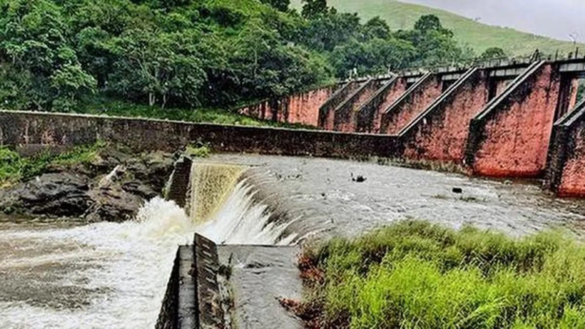
Water Levels and Rainfall Data Reported for Mullaperiyar and Vaigai Dams
The Mullaperiyar dam's water level was reported between 111.50 and 111.70 feet, below the maximum permissible level of 142 feet, with inflows ranging from 293 to 573 cusecs and a consistent discharge of 200 cusecs. Vaigai dam levels were around 26 feet, with inflows between 16 and 28 cusecs and a discharge of 72 cusecs. Combined storage in Periyar credit ranged from approximately 1,298 to 1,325 mcft. Rainfall varied across nearby locations over two consecutive 24-hour periods.
Political Bias
0%100%0%
Sentiment
50%
AI Analysis
Political bias across 2 sources
● Left 0%● Center 100%● Right 0%
The articles present straightforward hydrological data without political framing or commentary. Both sources focus on factual reporting of water levels, inflows, discharges, and rainfall, reflecting a neutral, technical perspective without evident political viewpoints or stakeholder opinions.
Sentiment — Neutral (50/100)
The tone across the articles is neutral and informational, focusing on measurements and statistics. There is no positive or negative sentiment expressed, as the content serves to update readers on dam conditions and rainfall without evaluative language or emotional cues.
How 2 sources covered this story
Each source's own headline, political lean, and sentiment — so you can see framing differences at a glance.
| Source | Their headline | Bias | Sentiment |
|---|---|---|---|
| thehindu | Water level in Mullaperiyar dam stands at 111.70 feet | Center | Neutral |
| thehindu | Water level in Mullaperiyar dam stands at 111.50 feet | Center | Neutral |
Coverage timeline
thehindu broke this story on 15 May, 02:05 pm. Other outlets followed.
- 1thehindu15 May, 02:05 pmWater level in Mullaperiyar dam stands at 111.50 feet
- 2thehindu16 May, 01:18 pmWater level in Mullaperiyar dam stands at 111.70 feet
Lens Score breakdown
23/100
Public interest0/100
Coverage gap100%
Well-covered story — coverage matches public importance.
Story context
- Category
- Generic
- Location
- Thekkady, India
- Sources analysed
- 2
- Last analysed
- 16 May 2026
- Key entities
- Mullaperiyar DamVaigai RiverDamPeriyar RiverThekkadyGudalur, NilgirisUthamapalayam
Related Coverage
Select a news story to see related coverage from other media outlets.