1 hour agoPolitics
29LENS
2 SourcesIran
Iran's Revolutionary Guards Release New Map of Strait of Hormuz Control Area
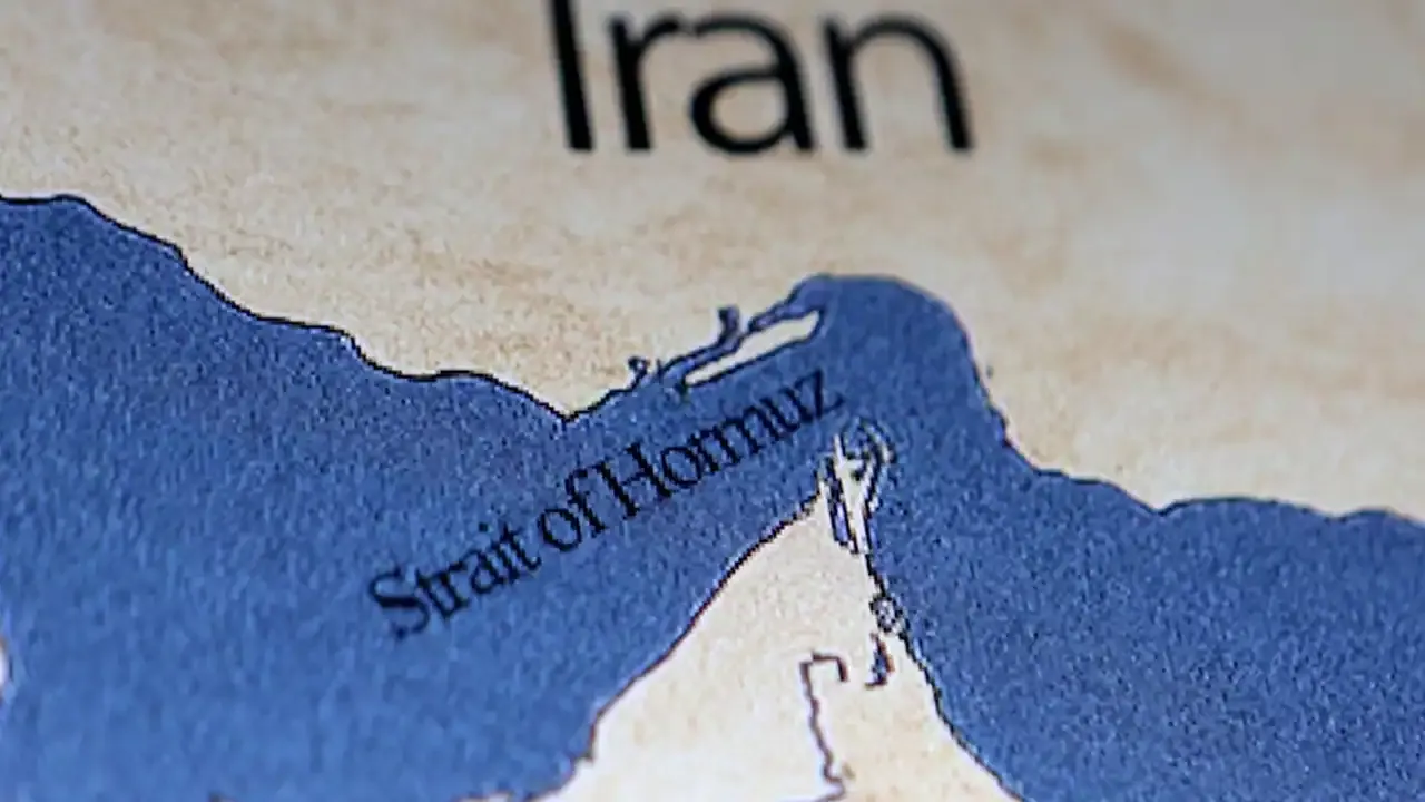
Iran's Islamic Revolutionary Guard Corps (IRGC) has released a new map delineating the area of the Strait of Hormuz under its naval control, spanning from a line between Iran's Qeshm Island and the UAE's Umm al-Quwain emirate in the west to a line between Mount Mobarak and the UAE's Fujairah emirate in the east. This development occurs amid heightened US-Iran tensions, with the US expressing intentions to assist ships in the Gulf, while Iran warns that foreign military forces, particularly the US, will be attacked if they enter the Strait without coordination.
Political Bias
0%100%0%
Sentiment
42%
AI Analysis
Political bias across 2 sources
● Left 0%● Center 100%● Right 0%
The articles present perspectives from both Iranian and US viewpoints, highlighting Iran's assertion of control over the Strait of Hormuz and its warnings against foreign military presence, alongside US statements about guiding ships through the area. Coverage reflects official statements from Iranian military sources and US leadership without endorsing either side, maintaining a focus on factual developments amid geopolitical tensions.
Sentiment — Neutral (42/100)
The tone across the articles is neutral and factual, reporting on military and political developments without emotive language. While the situation involves tension and warnings, the coverage refrains from sensationalism, instead presenting statements and actions from both Iran and the US in a balanced manner.
How 2 sources covered this story
Each source's own headline, political lean, and sentiment — so you can see framing differences at a glance.
| Source | Their headline | Bias | Sentiment |
|---|---|---|---|
| moneycontrol | IRGC releases new map of Strait of Hormuz control area amid rising US-Iran tensions- Moneycontrol.com | Center | Neutral |
| theprint | Iran's Revolutionary Guards unveil new map of Strait of Hormuz under their control, state media says | Center | Neutral |
Coverage timeline
theprint broke this story on 4 May, 09:33 am. Other outlets followed.
- 1theprint4 May, 09:33 amIran's Revolutionary Guards unveil new map of Strait of Hormuz under their control, state media says
- 2moneycontrol4 May, 09:57 amIRGC releases new map of Strait of Hormuz control area amid rising US-Iran tensions- Moneycontrol.com
Lens Score breakdown
29/100
Public interest0/100
Coverage gap100%
Well-covered story — coverage matches public importance.
Who's involved
Institutions and figures named across source coverage.
Enforcement
Iran's Revolutionary Guards NavyIslamic Revolutionary Guard Corps
Story context
- Category
- Politics
- Location
- Iran
- Sources analysed
- 2
- Last analysed
- 4 May 2026
- Key entities
- IranEmirateUmm Al QuwainQeshm IslandIslamic Revolutionary Guard CorpsStrait of HormuzDonald TrumpFujairahIsraeli–Palestinian conflictFars News AgencyUnited States ArmyOil tanker
Related Coverage
Select a news story to see related coverage from other media outlets.