3 hours agoGeneric
23LENS
2 SourcesUthamapalayam, India
Mullaperiyar and Vaigai Dams Report Water Levels and Rainfall Data
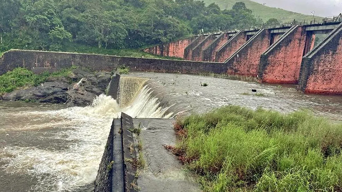
The Mullaperiyar dam's water level was reported around 114 feet, below its maximum permissible level of 142 feet, with inflows ranging from 79 to 114 cusecs and discharges between 278 and 300 cusecs. Vaigai dam levels were approximately 33 to 34 feet, below its 71-foot limit, with no inflow and discharges varying from 72 to 572 cusecs. Combined storage in Periyar credit ranged from 1,786 to 1,858 mcft. Rainfall measurements varied across nearby locations over two consecutive 24-hour periods.
Political Bias
0%100%0%
Sentiment
50%
20 stories available
View AI Analysis
Bias Analysis: The articles present straightforward hydrological data without political framing or commentary. Both sources focus on factual reporting of dam levels, inflows, discharges, and rainfall, reflecting a technical perspective without evident political viewpoints or stakeholder opinions.
Sentiment: The tone across the articles is neutral and informational, providing measurements and statistics without emotive language or evaluative statements. The coverage neither emphasizes concern nor reassurance, maintaining an objective presentation of water and rainfall data.
Lens Score: 23/100 — Story is well-covered by media outlets. Public interest: 0/100. Coverage gap: 100%.
Related Coverage
Select a news story to see related coverage from other media outlets.