7 hours agoPolitics
57LENS
1 SourcesBangalore Rural district, India
Karnataka GIS Survey: 37 Lakes Encroached, Bengaluru Districts Lead in Violations
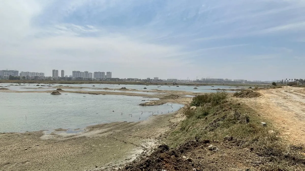
A recent GIS survey in Karnataka has revealed encroachments on 37 lakes across the state, with Bengaluru Urban, Rural, and South districts showing the highest numbers. The survey, utilizing drones and satellite imagery for high accuracy, has mapped 41,849 lakes, with encroachments identified on 15,048 lakes covering over 45,000 acres. This initiative has also established the first centralized database for lake information, aiming to address the issue of fragmented data across multiple agencies.
Political Bias
20%60%20%
Sentiment
45%