Drone Survey in Bathinda Aims to Prepare GIS-Based Master Plan, Not Land Acquisition
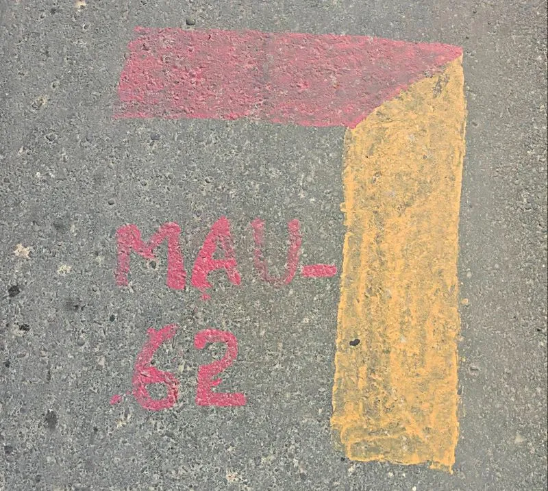
Residents of nearly 60 villages in Bathinda's Maur subdivision have expressed concerns over a drone survey marking village lands, fearing potential land acquisition. Officials clarified the survey, conducted by private agencies with district permission, aims to prepare a Geographic Information System (GIS)-based master plan for land-use data collection. Authorities emphasized the survey is not linked to land acquisition but to support government schemes. Villagers have sought clarification and threatened protests, while officials plan meetings to address concerns.
First-hand measurement across 2 sources
We measured how 2 outlets covered this story. No outlet gave this story a measurable political slant — there is no left–right reading to report. Overall sentiment is neutral (46/100). Lens Score 52/100.
Outlets measured: thetribune, thetribune. See how each one headlined and framed the same story in the source comparison below.
AI Analysis
Sentiment was consistent across outlets (38–55/100), indicating broadly factual reporting rather than editorialising.
Coverage timeline
thetribune broke this story on 20 Aug, 03:07 pm. Other outlets followed.