Drone Survey Advances Efforts to Demarcate Land for Behala Airport Revival
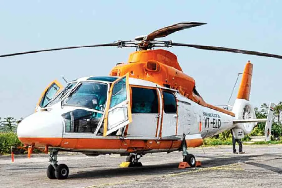
A drone-based survey was conducted to demarcate the land boundaries of Behala Airport, addressing long-standing issues of encroachments and incomplete boundary walls that have hindered its operationalisation. Initiated by BJP MLA Indranil Khan, the survey aims to update official maps to identify encroachments for removal, enabling construction of the required perimeter wall. Behala Airport, currently a dormant airfield and pilot training site, has faced challenges including narrow approach roads and nearby tall buildings, affecting plans to develop it as Kolkata's second commercial airport.
First-hand measurement across 2 sources
We measured how 2 outlets covered this story. Coverage leans balanced overall (Left 15%, Centre 65%, Right 20%). Overall sentiment is positive (68/100). Lens Score 35/100 — moderate-to-low public interest.
Outlets analysed (first-hand measurement by TBN's Bias Engine):
- thetelegraph— balanced framing, positive sentiment
- thestatesman— balanced framing, neutral sentiment
AI Analysis
The articles primarily reflect perspectives aligned with the BJP, highlighting the role of BJP MLA Indranil Khan in initiating the survey and criticizing previous government inaction. They include official statements from government sources and the Airports Authority of India, focusing on administrative and regulatory challenges. Opposition or alternative viewpoints are not prominently featured, resulting in coverage centered on government-led development efforts.
The tone across the articles is generally positive, emphasizing progress in resolving land and encroachment issues through the drone survey. While acknowledging past obstacles and challenges, the coverage conveys a sense of forward movement and renewed hope for the airport's operationalisation, without overtly optimistic or critical language.