PM Gati Shakti Integrates India's Infrastructure Data but Real-Time Monitoring Challenges Persist
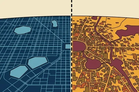
India's infrastructure planning has historically been fragmented, with multiple agencies maintaining separate maps and data systems, leading to inefficiencies and delays. The PM Gati Shakti initiative aims to integrate these efforts by consolidating over 1,600 geospatial data layers from 44 central ministries and 36 states onto a unified GIS platform by late 2024. While this addresses data fragmentation on paper, challenges remain in achieving continuous, real-time monitoring of infrastructure conditions, as illustrated by Bengaluru's drainage issues, highlighting the need for ongoing observation beyond static mapping.
First-hand measurement across 3 sources
We measured how 3 outlets covered this story. Coverage leans balanced overall (Left 20%, Centre 75%, Right 5%). Overall sentiment is neutral (50/100). Lens Score 27/100 — low public interest.
Outlets analysed (first-hand measurement by TBN's Bias Engine):
- swarajyamag— balanced framing, neutral sentiment
- swarajyamag— balanced framing, neutral sentiment
- swarajyamag— balanced framing, neutral sentiment
AI Analysis
The articles primarily present a technocratic perspective focusing on government initiatives like PM Gati Shakti without partisan framing. They highlight both achievements in data integration and ongoing challenges, reflecting a balanced view of government efforts and systemic issues. No explicit political bias or opposition viewpoints are evident, as the coverage centers on infrastructure management and digital integration.
The tone across the articles is cautiously optimistic, acknowledging progress in unifying infrastructure data through PM Gati Shakti while emphasizing unresolved challenges in real-time tracking. The sentiment is mixed, combining recognition of government achievements with constructive critique of current limitations, maintaining a neutral and analytical approach without overtly positive or negative language.