INSAT-3DS Captures 3,500-Kilometre Monsoon Cloud Band from China to India
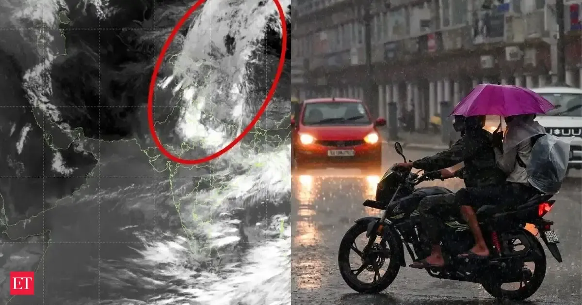
Satellite images from India's INSAT-3DS have captured a vast 3,500-kilometre-long cloud band stretching from western China across the Tibetan Plateau, Himalayas, and into northern and central India. This extensive canopy consists of high-altitude ice clouds formed by the combined outflow of multiple monsoon thunderstorms. These cloud tops, reaching up to 16 kilometres, indicate active monsoon convection fueling widespread rainfall across the region, a typical feature during an active monsoon phase.
First-hand measurement across 2 sources
We measured how 2 outlets covered this story. No outlet gave this story a measurable political slant — there is no left–right reading to report. Overall sentiment is neutral (50/100). Lens Score 36/100.
Outlets measured: economictimes, indiatoday. See how each one headlined and framed the same story in the source comparison below.
AI Analysis
Sentiment was consistent across outlets (50–50/100), indicating broadly factual reporting rather than editorialising.
Coverage timeline
indiatoday broke this story on 6 Aug, 04:24 pm. Other outlets followed.