Water Levels in Mullaperiyar and Vaigai Dams Remain Below Maximum Limits
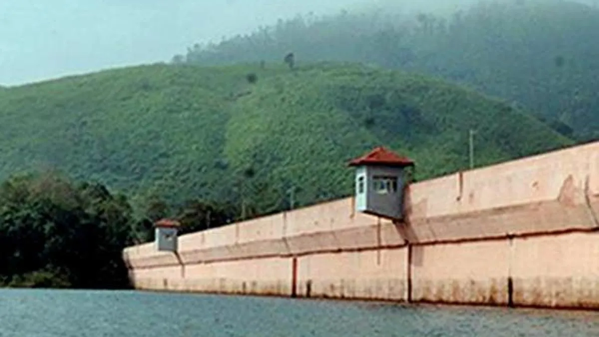
The water level in Mullaperiyar dam was reported around 112.6 to 112.7 feet, below the maximum permissible level of 142 feet, with inflows ranging from 372 to 452 cusecs and discharges between 250 and 256 cusecs. Vaigai dam's level was approximately 33.8 to 33.96 feet, below its 71-foot maximum, with inflows near 203 to 215 cusecs and discharges at 86 cusecs. Recent rainfall varied across nearby locations, with Periyar dam recording up to 15.6 mm in the latest 24-hour period.
First-hand measurement across 2 sources
We measured how 2 outlets covered this story. Coverage leans balanced overall (Left 0%, Centre 100%, Right 0%). Overall sentiment is neutral (50/100). Lens Score 23/100 — low public interest.
Outlets analysed (first-hand measurement by TBN's Bias Engine):
- thehindu— balanced framing, neutral sentiment
- thehindu— balanced framing, neutral sentiment
AI Analysis
The articles present straightforward hydrological data without political framing. Both sources focus on factual reporting of dam water levels, inflows, discharges, and rainfall measurements, reflecting a neutral stance without political commentary or stakeholder perspectives.
The tone across the articles is neutral and informational, emphasizing measured water levels and rainfall data without expressing concern or alarm. The coverage maintains a calm and factual approach, suitable for routine environmental updates.
How 2 sources covered this story
Each source's own headline, political lean, and sentiment — so you can see framing differences at a glance.