Satellite Images Reveal Impact of Bhote Koshi Flash Floods in Nepal
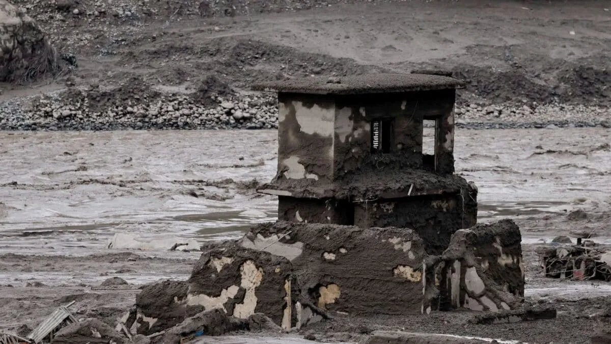
Satellite images from Planet Labs reveal significant landscape changes caused by the Bhote Koshi River flash floods in Nepal's Rasuwa district, affecting areas from Syaphrubesi to Devighat. The before-and-after visuals highlight extensive damage to land and communities along the river corridor, including Devighat, Betrawati, Hakubesi, and Syaphrubesi. Authorities, including Nepal's National Disaster Risk Reduction and Management Authority, are using these images to assess the flood's impact and ongoing disaster response efforts.
First-hand measurement across 2 sources
We measured how 2 outlets covered this story. No outlet gave this story a measurable political slant — there is no left–right reading to report. Overall sentiment is neutral (40/100). Lens Score 45/100.
Outlets measured: news18, hindustantimes. See how each one headlined and framed the same story in the source comparison below.
AI Analysis
Sentiment was consistent across outlets (35–45/100), indicating broadly factual reporting rather than editorialising.
Coverage timeline
hindustantimes broke this story on 26 Aug, 02:22 pm. Other outlets followed.
- 1