Water Levels and Rainfall Data Reported for Mullaperiyar and Vaigai Dams
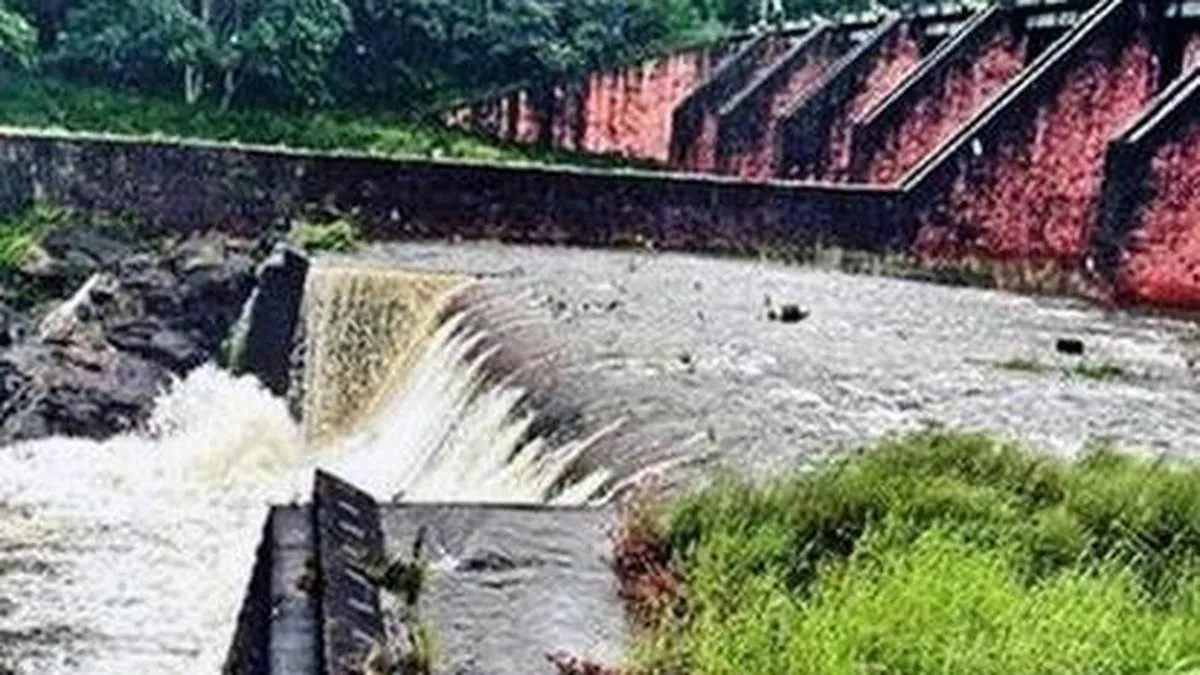
The Mullaperiyar dam's water level ranged from 120.55 to 121.20 feet, below the permissible 142 feet, with inflows between 1,091 and 1,893 cusecs and a consistent discharge of 400 cusecs. Vaigai dam levels were between 49.61 and 50.33 feet, under the 71-foot maximum, with inflows from 1,210 to 1,441 cusecs and discharge at 86 cusecs. Recent 24-hour rainfall varied across the region, with notable measurements at Kodaikanal (115.4 mm) and other nearby locations.
First-hand measurement across 2 sources
We measured how 2 outlets covered this story. No outlet gave this story a measurable political slant — there is no left–right reading to report. Overall sentiment is neutral (50/100). Lens Score 27/100.
Outlets measured: thehindu, thehindu. See how each one headlined and framed the same story in the source comparison below.
AI Analysis
Sentiment was consistent across outlets (50–50/100), indicating broadly factual reporting rather than editorialising.
Coverage timeline
thehindu broke this story on 25 Oct, 03:48 pm. Other outlets followed.
- 1