Drone Survey Begins to Redraw Boundaries of Bhopal's Bhoj Wetland After NGT Order
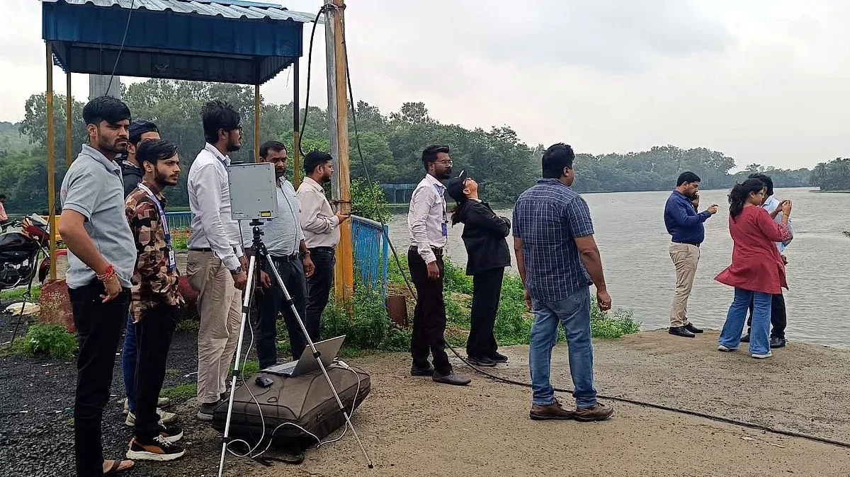
Following directions from the National Green Tribunal (NGT), a fresh demarcation exercise of Bhopal's Bhoj Wetland and nearby water bodies began, led by the Madhya Pradesh Pollution Control Board. The process involves drone surveys, ground verification, and satellite imagery to accurately map wetland boundaries. Drone flights were conducted from multiple locations with necessary permissions, though operations were temporarily halted due to rain. A seven-member committee has been given 15 days to complete the survey, which includes monitoring water levels and gate operations at Bhadbhada Dam.
First-hand measurement across 2 sources
We measured how 2 outlets covered this story. No outlet gave this story a measurable political slant — there is no left–right reading to report. Overall sentiment is neutral (50/100). Lens Score 50/100.
Outlets measured: freepressjournal, freepressjournal. See how each one headlined and framed the same story in the source comparison below.
AI Analysis
Sentiment was consistent across outlets (50–50/100), indicating broadly factual reporting rather than editorialising.
Coverage timeline
freepressjournal broke this story on 5 Sept, 12:31 am. Other outlets followed.