IIT Bombay Develops AI System to Predict Flood-Prone Areas and Water Depths
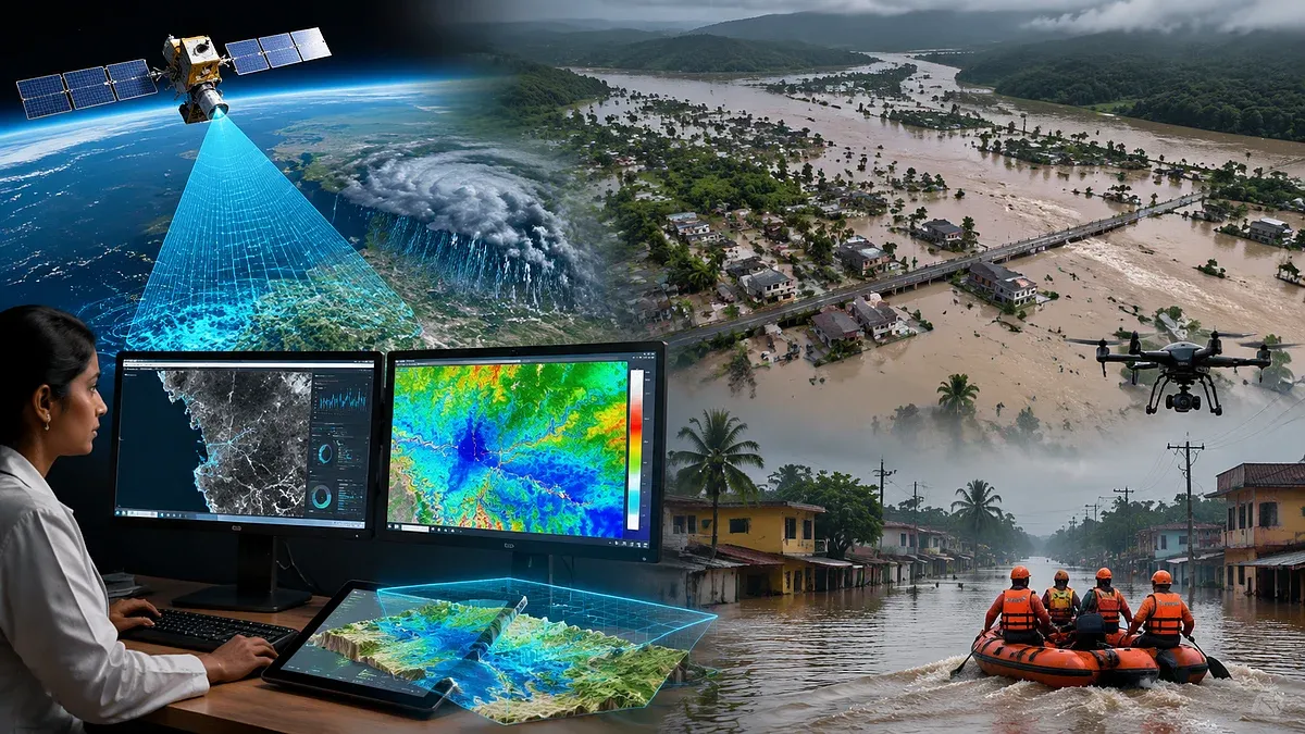
Researchers at IIT Bombay have developed an AI-based flood prediction system with over 93% accuracy, capable of mapping flood-prone areas and estimating water depths at a 30-meter resolution across the Western Ghats coastal belt in southern India. The system integrates satellite radar data with environmental factors like surface runoff, soil moisture, and land use, offering improved flood risk assessment compared to rainfall-only methods. Covering about 55,000 square kilometres, it aims to enhance disaster preparedness and management in vulnerable coastal regions.
First-hand measurement across 2 sources
We measured how 2 outlets covered this story. Coverage leans balanced overall (Left 0%, Centre 100%, Right 0%). Overall sentiment is positive (75/100). Lens Score 29/100 — low public interest.
Outlets analysed (first-hand measurement by TBN's Bias Engine):
- ndtv— balanced framing, positive sentiment
- freepressjournal— balanced framing, positive sentiment
AI Analysis
The articles present a technical and scientific development without evident political framing. Coverage focuses on the research achievements of IIT Bombay, emphasizing disaster preparedness and technological innovation. There is no partisan perspective or political commentary, and the sources highlight the potential benefits for affected communities and authorities.
The tone across the articles is positive and informative, highlighting the advancement in flood prediction technology and its potential to improve disaster management. The sentiment reflects optimism about the system's accuracy and applicability, with no negative or critical viewpoints presented.
How 2 sources covered this story
Each source's own headline, political lean, and sentiment — so you can see framing differences at a glance.