Mullaperiyar Dam Water Level Near 111 Feet with Ongoing Discharge Management
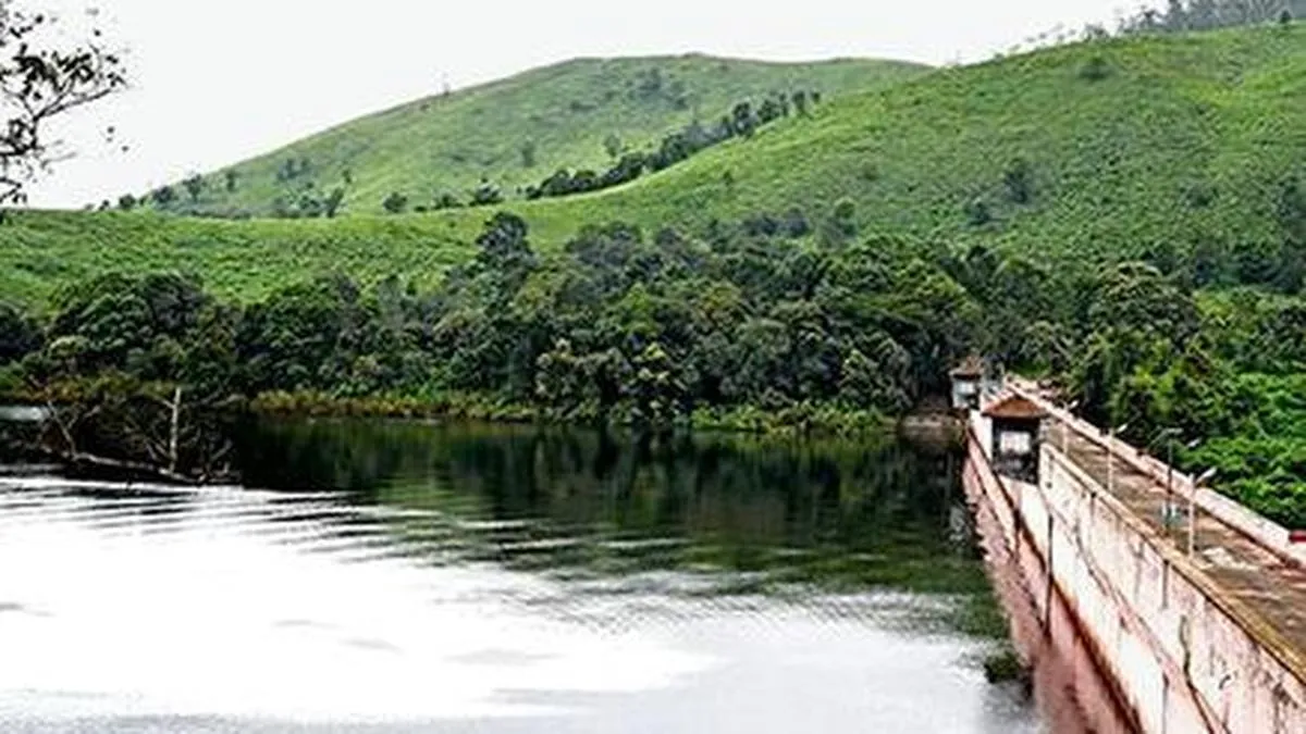
The water level in Mullaperiyar dam was reported around 111 feet, below the maximum permissible level of 142 feet, with discharge maintained at 350 cusecs. Vaigai dam's water level ranged near 21 feet, with inflows and discharges varying slightly between reports. Combined storage in the Periyar credit area was approximately 1,100 to 1,112 million cubic feet. Rainfall measurements differed across locations and days, reflecting recent precipitation in the region.
First-hand measurement across 2 sources
We measured how 2 outlets covered this story. Coverage leans balanced overall (Left 0%, Centre 100%, Right 0%). Overall sentiment is neutral (50/100). Lens Score 23/100 — low public interest.
Outlets analysed (first-hand measurement by TBN's Bias Engine):
- thehindu— balanced framing, neutral sentiment
- thehindu— balanced framing, neutral sentiment
AI Analysis
The articles present straightforward factual updates on dam water levels and rainfall without political framing. Both sources focus on technical data from official measurements, avoiding political or policy commentary. The coverage is neutral, emphasizing hydrological status rather than governance or conflict aspects.
The tone across the articles is neutral and informational, providing routine updates on water levels and rainfall. There is no evident positive or negative sentiment, as the reports focus on measurements and operational details without emotive language or evaluative statements.
How 2 sources covered this story
Each source's own headline, political lean, and sentiment — so you can see framing differences at a glance.